Rendering GPX files using libchamplain and librest
A little while ago, I read robster’s post about librest, and it looked quite neat. I have had a plan for visualising GPX files for quite a while, hopefully with something that allows you to look at data for various bits of a track, like speed and the time you where there, but for various reasons, I haven’t had the time before.
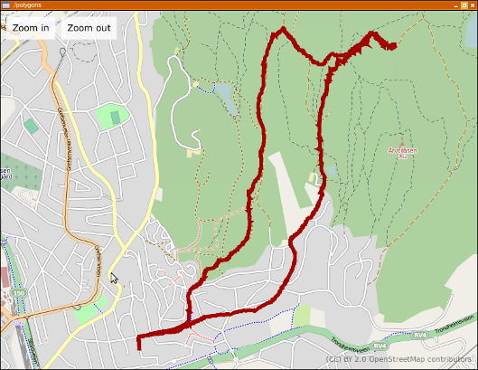
Last night, I took a little time to glue librest and libchamplain together. libchamplain is a small gem of a library, quite nice to work with and with the 0.3.3 release, it got support for rendering polygons. The result is in this screenshot:
This is about 160 lines of C, all included.